|
|
|
|
|
|
|
|
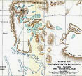
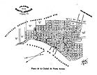
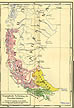
The map is a powerful visual tool, whether its purpose be to inform, to guide or simply to serve as a reference document. The earliest maps of this region were drawn from the observations of visiting European sailors, starting with Ferdinand Magellan. This collection reflects more recent expeditions and concerns.
 |
 |
 |
 |
|||
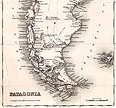
(6)
Colton 1857 |
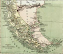
(4)
Williams 1873 |
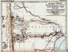
(5)
Moreno 1876 |
1895 |
 |
 |
|
|
1907 |
c1920 |